![]() Ramah Public Cemetery
Ramah Public Cemetery
Cut-off Date: July 1993
Names in Index (including maiden names): 387
Ramah Public Cemetery was indexed in 1993 by Sharon DeBartolo Carmack and published in the self-published Communities at Rest: An Inventory and Field Study of Four Eastern Colorado Cemeteries. This volume is now out of print but copies can be accessed at the following sites:
Sharon Carmack kindly gave permission to PPGS to include the index to Ramah Public Cemetery in this resource. Page numbers refer to the 1993 edition.
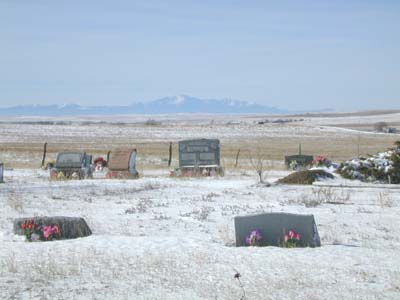
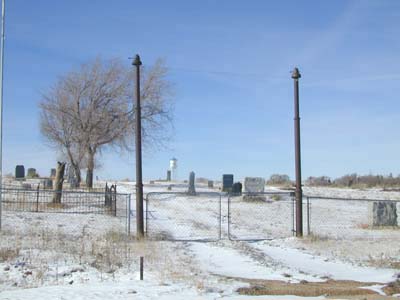
The cemetery is visible from U.S. Highway 24. To access it, turn south onto Ramah Road just past the Ramah water tower. According to GPS-derived geolocation (accurate to within 10 meters), the cemetery's coordinates are latitude 39°07'04.1"N and longitude 104°09'47.8"W. The Colorado Cemetery Directory notes that the town of Ramah was established in 1888. The first marked burial in this cemetery is dated 1867, but it was perhaps moved from another cemetery. The next earliest burial is dated 1887.
Ramah Public Cemetery data (alphabetical order)